
Hugh Caldwell of Bullitt County and John Hunter of Wheeling, Virginia sold "two eighths" of their joint Bullitt County holdings to John C. Tarr of Brook County, Virginia. Individually they would later sell the lands to William Patterson. The deed below describes the three-eighths sold by Hunter to Patterson.
Bullitt County Deed Book N, pages 99-103
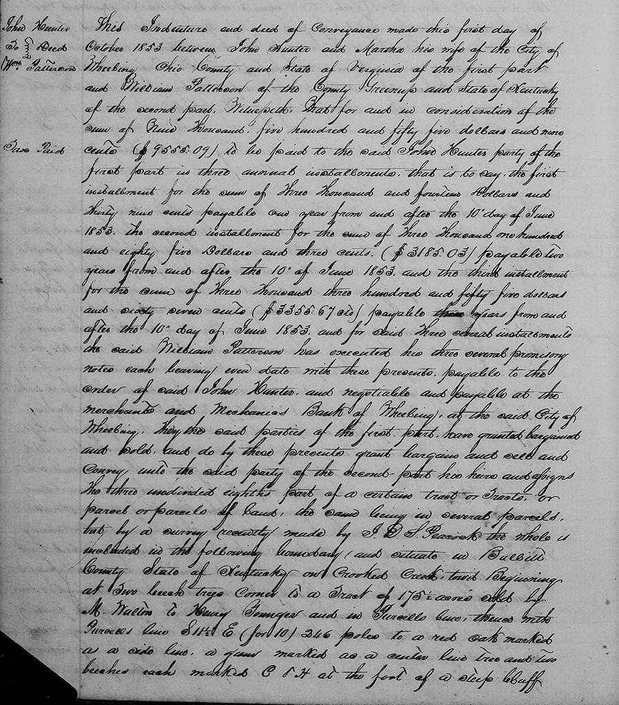
This indenture and deed of conveyance made this first day of October 1853 between John Hunter and Martha his wife of the city of Wheeling, Ohio County and State of Virginia of the first part and William Patterson of the County Greenup and State of Kentucky of the second part. Witnesseth that for and in consideration of the sum of $9,555.09 to be paid to the said John Hunter, party of the first part in three annual installments, that is to say, the first installment for the sum of $3,014.39 payable one year from and after the 10th day of June 1853, the second installment for the sum of $3,014.03 payable two years from and after the 10th of June 1853, and the third installment for the sum of $3,355.67 payable three years from and after the 10th day of June 1853, and for said three several installments the said William Patterson has executed his three several promissory notes each bearing even date with these presents, payable to the order of said John Hunter, and negotiable and payable at the Merchants and Mechanics Bank of Wheeling at the said City of Wheeling.
They the said parties of the first part have granted, bargained and sold, and do by these presents grant, bargain and sell and convey unto the said party of the second part, his heirs and assigns, the three undivided eighths part of a certain tract or tracts or parcel or parcels of land, the same being in several parcels, but by a survey recently made by J. D. S. Peacock, the whole is included in the following boundary and situate in Bullitt County, State of Kentucky on Crooked Creek, to wit.
Beginning at two beech trees, corner to a tract of 175.5 acres sold by M. Walton to Henry Younger in Purcell's line, thence with Purcell's line S 11.5° E (for 10°) 246 poles to a red oak marked as a side line, a gum marked as a center line tree and two beeches each marked C & H at the foot of a steep cliff near a run, the original corner trees not found (two beeches, a corner of a 300 acre tract sold by said Walton to Jonathan Simmons, thence S 87°49' W (for West) 219.5 poles to two beech trees in a bottom near the foot of a hill and a corner to the said 300 acres and one hundred sold by said Walton to Robert Simmons, thence S 61.5° W (for 61) 34 poles to two beeches in the line of Colley McDaniel's 300 acre survey and corner to the said 300 and 100 acre surveys, thence with McDaniel's line S 25° E 14 poles to a stake, N 33.5° E one half pole from a mulberry, supposed to be where two beech trees originally stood and the southeast corner of said McDaniel's 300 acres and corner to Robert Simmons' 100 acres, thence with Simmons' line S 25° E 57.5 poles to two beeches on the north bank of Crooked Creek, the original corner not found (an elm, beech and hickory) then down Crooked Creek with its meanders 196 poles to where the line of John B. Cundiff's land corners and is the original line of a 700 acre survey sold by M. Walton to N. Harris, thence with said line N 51.5° W (for 52) 135 poles to a beech and ash trees corner to the said Cundiff's land and a corner of a 103 acre survey sold to Wilford Lee by G. Grundy and a part of Harris's 700 acre tract and a 425 acre tract sold by Harris to Wilford Lee, thence N 45° E (for 45.5) 31 poles to 3 beeches on the bank of Mud Run, thence with the original line of N 44.5° W 130 poles to a stake in said line in the Shepherdsville and Lee's Ferry Road, thence with said road towards Shepherdsville N 47.5° E 16.5 poles to a stake, N 54.5° E 64 poles to a stake, N 45.5° E 64.5 poles to a stake in the westwardly line of Colley McDaniel's 300 acre survey and the 50 acre survey sold by the said McDaniel to Smith, then with said line S 21°36' (for 25) 132 poles to two white oaks the original corner of said McDaniel's 300 acre survey and Smith's 50 acre survey, then with said 300 and 50 acre surveys N 64° E (for 65°) 46 poles to a white oak and elm corner to Smith's fifty acres and in McDaniels' 300 acre survey, then with Smith's line N 21°36' E 141 poles to two red oaks and gum on the said Shepherdsville and Lee's Ferry road, thence up said road with its general course N 18.5° E 48 poles, N 4.5° W 10.5 poles, N 23° W 52 poles, N 22° E 50 poles, N 40° E 14 poles, N 47° E 16 poles, N 31° E 41 poles, N 57.5° E 42 poles, N 52.5° E 34.5 poles, to a stake in said road and in a line of a 200 acre survey sold by M. Walton to William Shain, thence with said line and 100 acre line sold by Walton to Hart S 23.5° E (for 25) 180 poles to a beech tree in Colley McDaniel's 300 acres line and corner to Hart and Jonathan Simmons' 300 acre survey, thence with Hart and Simmons' line N 85.5° E (for 85) 142 poles to a stake in Crooked Creek and two beeches on the north bank of said creek and corner to Simmons and Hart, thence with their line N 20° W 118 poles to a stone, the original corner of three beeches not found, thence N 85.5° E (for 80) with the line of William Shain's 200 acres bought of Walton, thence with the line thereof and Henry Younger's 175.5 acres (the Engle place) purchased of said Walton N 85.5° (for 85°) E 146 poles to the place of beginning, passing Younger's and Shain's corner at 23 poles to the place of beginning containing 860 acres more or less and being the same conveyed by Atkinson Lee and wife to Hugh Caldwell, John Hunter and John C. Tarr who composed the firm of Caldwell, Hunter and Company by deed bearing date the 5th day of January 1852, and now of record in the clerk's office of the County Court of Bullitt County, State of Kentucky.
Also the three undivided eighth parts of the following described tracts of land situate in the County of Bullitt in the State of Kentucky, that is to say, one tract of about 200 acres more or less on the waters of Crooked Creek with the furnace and machinery, and bounded as follows. Beginning at a black oak & two white oaks, thence N 11° W 324.6 poles to a poplar, elm and sugar tree, thence N 79° E 40 poles to an oak and two sugar trees, thence S 11° E 48 poles to a beech, thence N 79° E 40 poles to a hickory and maple, thence S 11° E 40 poles to a mulberry and beech, thence N 79° E 33 poles to two pines and two white oaks, thence S 11° E 48 poles to a stake thence nearly southeast 18 poles to a stake on the original line which divides David Grable's 200 acres from the other 300 patented to Grable and Francis Shain, thence S 11° E 140 poles to a stake, thence S 79° W 113 poles to the beginning.
Also another tract of 5000 acres more or less situate on the waters of said Crooked Creek, bounded as follows Beginning at Dennis Lemmon's southwest corner at two white oaks and a small hickory, thence East with Lemmon's line 850 poles to two cedars and poplar, thence North 980 poles to a white oak, hickory and beech, thence West 350 poles to a white oak, thence S 85° W 75 poles to Paul Froman's corner at two white oaks and dogwood, thence the same course with Froman's line 320 poles to two white oaks course continued in all 630 poles to John Ray's line at a white oak, thence with Ray's line S 11° E 125 poles to three white oaks, thence S 79° W 215 poless with Ray to a corner of Richard Morton's 500 acre survey on Crooked Creek, an ash and two sugar trees, thence with Morton S 11° E 48 poles to two beeches, N 79° E 40 poles to a white oak and maple, thence S 11° E 40 poles to a mulberry and beech, thence N 79° E 116 poles to a beech and white oak, thence S 11° E 50 poles to a black oak, thence N 70° E 378 poles to an oak and dogwood, thence S 20° E 127 poles to two white oaks and a pine, thence S 70° W 215 poles to Richard Morton's line at a white oak, thence S 11° E 90 poles to a black oak and beech, thence S 79° W 100 poles to Dennis Lemmons's line at a black oak, thence with said Lemmon's South 395 poles to the beginning.
Also one other tract of about 2000 acres more or less bounded as shown by the survey of Charles West.
Also of one other tract being one undivided half of the Dry Lick tract, formerly owned by General Walton, which tract contained about 7880 acres sold by John Pope and wife to John H. Baker and Thomas Joyce, this moiety the three eighths parts of which is now sold and conveyed is supposed to contain 3800 acres, be the same more or less, on which is situated the Salt River Furnace and machinery (three eighths parts of which is conveyed with the land) but out of this tract is excepted about 300 acres heretofore sold and conveyed by Quirey and Tyler to Vincent Stuard, and also fifty acres sold to William Dalton, on top of the hill back of the furnace, and there is also excepted out of said 5000 acre tract 350 acres heretofore conveyed by Randolph Railey to John Snellenbarger.
All of the foregoing property conveyed by the Shepherdsville Iron Manufacturing Company to Emory Low by deed of the 4th of November 1850, and by the said Low to the said John Hunter, party of the first part and Hugh Caldwell of the County of Bullitt and State of Kentucky by deed of the 1st of January 1851, both of record in the office of the Bullitt County Courtand referred to and the object of this indenture is to convey to the said William Patterson an interest of three eighths in all the property conveyed to said Caldwell and Hunter by said Low.
To have and to hold the three undivided eighths of the aforesaid premises with all and singular the tenements, hereditaments, and appurtenances thereto belonging or appertaining unto him the said party of the second part, his heirs and assigns forever, and the right and title in and to the three undivided eighths of said land and premises unto him the party of the second part, his heirs and assigns they the said parties of the first part for themselves, their heirs, executors and administrators will warrant and forever defend against the claims or demands of them the said parties of thefirst part and of all persons whatsoever lawfully claiming or to claim the same or any part thereof, or any interest therein, by, through or under them the said parties of the first part or either of them, but against none other, and the said parties of the first part for themselves, their heirs &c for and in consideration in the beginning of this deed recited do hereby transfer, convey and assign over to the party of the second part, his heirs &c three eighths of all the benefits they the said Hugh Caldwell and John Hunter have acquired in and through the covenants of warranty from Low to them, and in case of failure of title, or deficiency of quantity the said party of the second part is to look to their grantor and to enable him fully to do so, he he said John Hunter, party of the first part, doth hereby invest the said party of the second part with full right, power and authority to sue in his name by any lawful or proper suit or suits for such failure of title or deficiency in quantity of land but at the proper costs and charges of said party of the second part.
Yet, nevertheless, it is expressly covenanted, agreed and understood between the parties to these presents that the said John Hunter, party of the first part, hereby and herein retains a lien with all the force and effect of an express mortgage, both legally and equitably upon the land and premises hereby sold and conveyed as a security for the punctual payment of the three several promissory notes at the respective periods when they may fall due as set forth and described in the preceding part of this deed.
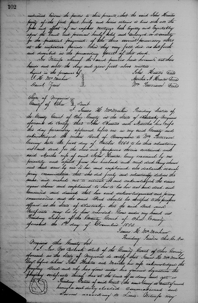
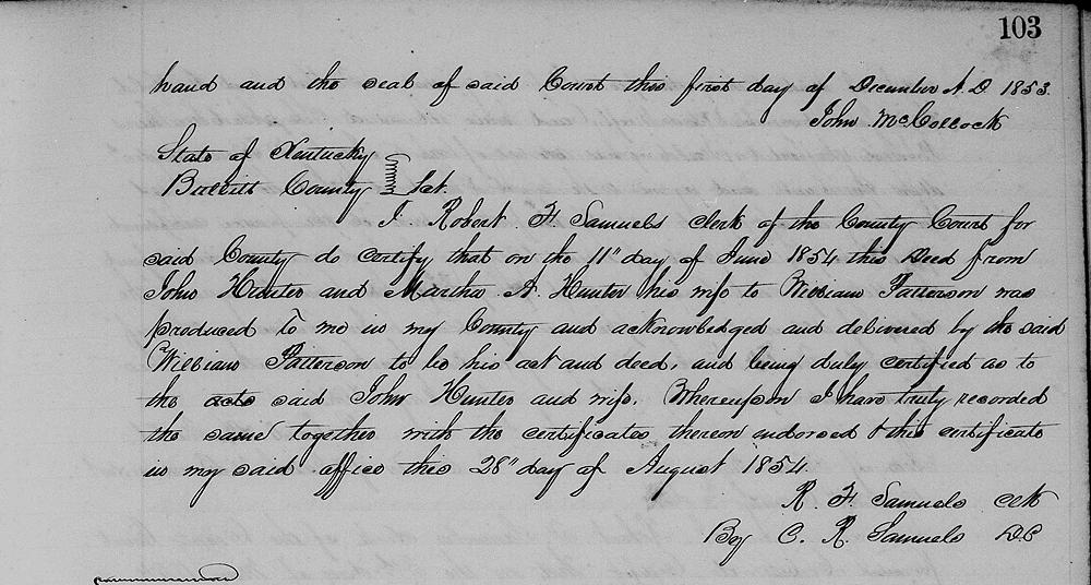
In witness whereof the said parties have hereunto set their hands and seals the day and yer first above written. (signed) John Hunter, Martha A. Hunter, William Patterson
The Bullitt County History Museum, a service of the Bullitt County Genealogical Society, is located in the county courthouse at 300 South Buckman Street (Highway 61) in Shepherdsville, Kentucky. The museum, along with its research room, is open 10 a.m. to 4 p.m. Monday through Friday. Saturday appointments are available by calling 502-921-0161 during our regular weekday hours. Admission is free. The museum, as part of the Bullitt County Genealogical Society, is a 501(c)3 tax exempt organization and is classified as a 509(a)2 public charity. Contributions and bequests are deductible under section 2055, 2106, or 2522 of the Internal Revenue Code. Page last modified: 12 Jan 2024 . Page URL: bullittcountyhistory.org/bchistory/hunter-patterson.html