
Hugh Caldwell of Bullitt County and John Hunter of Wheeling, Virginia sold "two eighths" of their joint Bullitt County holdings to John C. Tarr of Brook County, Virginia. Tarr then agreed to divide his portion of one of the tracts with William Patterson, as shown below.
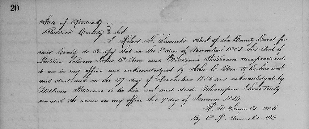
Bullitt County Deed Book N, Pages 19-20
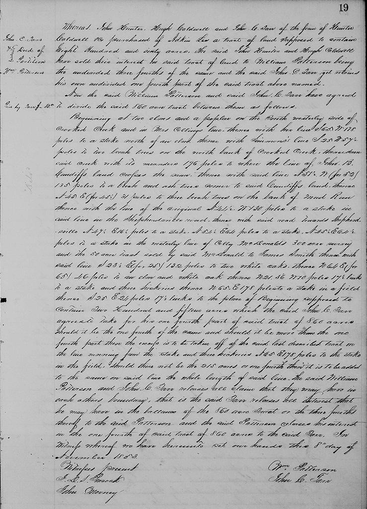
Whereas John Hunter, Hugh Caldwell and John C. Tarr of the firm of Hunter, Caldwell & Co. purchased of Adkin Lee a tract of land supposed to contain 860 acres, the said John Hunter and Hugh Caldwell have sold their interest in said tract of land to William Patterson, being the undivided three fourths of the same and the said John C. Tarr yet retains his own undivided one fourth part of the said tract above named.
Now the said William Patterson and said John C. Tarr have agreed to divide the said 860 acre tract between them as follows.
Beginning at two elms and a poplar on the southwesterly side of Crooked Creek and in Mrs. Collings' line, thence with her line S 65° W 178 poles to a stake north of an elm, thence with Simmons' line S 25° W 57.5 poles to two beech trees on the north bank of Crooked Creek, thence down said creek with its meanders 196 poles to where the line of John B. Cundiff's land crosses the same, thence with said line N 51.5° W (for 52) 135 poles to a beech and ash trees, corner to said Cundiff's land, thence N 45° E (for 45.5) 31 poles to 3 beeches on the bank of Mud Run, thence with the original line of N 44.5° W 130 poles to a stake in said line in the Shepherdsville and Lee's Ferry Road, thence with said road towards Shepherdsville N 47.5° E 16.5 poles to a stake, N 54.5° E 64 poles to a stake, N 45.5° E 64.5 poles to a stake in the westwardly line of Colley McDaniel's 300 acre survey and the 50 acre survey sold by the said McDaniel to James Smith, thence with said line S 21.5° (for 25) 132 poles to two white oaks, thence N 64° E (for 65°) 46 poles to an elm and white oak, thence N 21°36' W 10 poles 17.5 links to a stake and three hickories, thence N 65° E 178 poles to a stake in a field, thence S 25° E 24 poles 17.5 links to the place of beginning, supposed to contain 215 acres which the said John C. Tarr agrees to take for his one fourth part of said tract of 860 acres should it be one fourth of the same and should it be more than the one fourth part then the excess is t obe taken off of the said last described tract on the line running from the stake and three hickories N 65° E 178 poles to the stake in the field. Should there not be the 215 acres or one fourth then it is to be added to the same on said line the whole length of said line.
The said William Patterson and John C. Tarr releases all claim that they may have in each other's boundary, that is the said Tarr releases all interest that he may have in the balance of the 860 acre tract or the three fourths thereof to the said Patterson, and the said Patterson releases his interest in the one fourth of said tract of 860 acres to the said Tarr. In witness whereof we have hereunto set our hands this 8th day of November 1853.
(signed) William Patterson, John C. Tarr (witnesses) J. D. S. Peacock, John Mooney
The Bullitt County History Museum, a service of the Bullitt County Genealogical Society, is located in the county courthouse at 300 South Buckman Street (Highway 61) in Shepherdsville, Kentucky. The museum, along with its research room, is open 10 a.m. to 4 p.m. Monday through Friday. Saturday appointments are available by calling 502-921-0161 during our regular weekday hours. Admission is free. The museum, as part of the Bullitt County Genealogical Society, is a 501(c)3 tax exempt organization and is classified as a 509(a)2 public charity. Contributions and bequests are deductible under section 2055, 2106, or 2522 of the Internal Revenue Code. Page last modified: 12 Jan 2024 . Page URL: bullittcountyhistory.org/bchistory/tarr-patterson-agreement.html