
On 18 Mar 1784, Isaac Cox surveyed 840 acres of land along Cox's Creek for Thomas Rowland. There appears to have been a supposed conflict between this survey and an earlier one in the names of David Mitchell and George Wilson for these two men filed a caveat against Rowland, as shown below. It is unclear what, if anything, was done about this for a number of years. However, in April of 1817, the clerk of the Kentucky Court of Appeals issued a document indicating that he found no record of this caveat in court documents. Pursuant to that, a deed was issued to Thomas Rowland for the tract on 15 Apr 1817.
From the drawing included with the original survey, it appears that this tract lay in the bottomland south of the tracts claimed by Wilson and Mitchell, and that claimed by Henry Crist, and perhaps included the mouths of both the East and West Forks of Cox's Creek, and of Rocky Run.
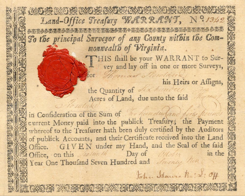
Warrant
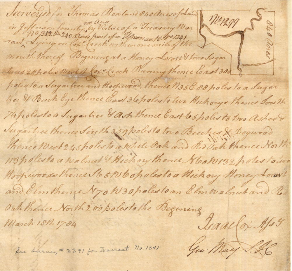
Survey
Surveyed for Thomas Rowland 840 acres of land in Jefferson County, 600 acres by virtue of a treasury warrant No. 1312 & 240 acres part of a warrant No. 1341 lying on Cox's Creek within one mile of the mouth thereof. Beginning at a honey locust & two sugar trees 28 poles west of Cox's Creek, running thence East 300 poles to a sugar tree and hoopwood, thence N 35 E 88 poles to a sugar tree & buckeye, thence East 36 poles to two hickorys, thence South 74 poles to a sugar tree & ash, thence East 65 poles to two ashes & sugar tree, thence South 359 poles to two beeches & dogwood, thence West 245 poles to a white oak and red oak, thence North 113 poles to a walnut & hickory, thence N 60 W 132 poles to two hoopwoods, thence S 65 W 60 poles to a hickory, honey locust and elm, thence N 70 W 30 poles to an elm, walnut and red oak, thence North 200 poles to the beginning. March 18th 1784. Isaac Cox, surveyor.
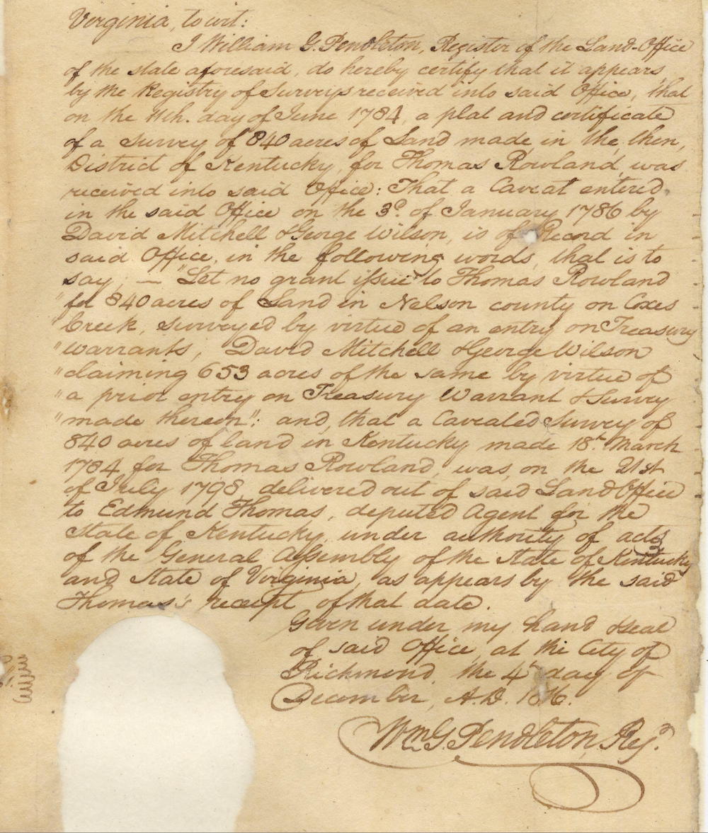
Caveat
Virginia to wit:
I William G Pendleton, registor of the land office of the state aforesaid, do hereby certify that it appears by the registry of surveys received into said office that on the 11th day of June 1784, a plat and certificate of a survey of 840 acres of land made in the then District of Kentucky For Thomas Rowland was received into said office. That a caveat entered in the said office on 3rd of January 1786 by David Mitchell and George Wilson is of record in said office in the following words, that is to say - "let no grant issue to Thomas Rowland for 840 acres of land in Nelson County on Cox's creek, surveyed by virtue of an entry on treasury warrants; David Mitchell and George Wilson claiming 653 acres of the same by virtue of a prior entry on treasury warrant and survey made thereon." And that a caveated survey of 840 acres of land in Kentucky made 18th March 1784 for Thomas Rowland was on the 21st of July 1798 delivered out of said land office to Edmund Thomas, deputed agent for the state of Kentucky under authority of Acts of the General Assembly of the State of Kentucky and State of Virginia, as appears by the said Thomas' receipt of that date. Given under my hand and seal of said office at the city of Richmond the 4th day of December, A.D. 1816.
(signed) Wm G. Pendleton, Reg.
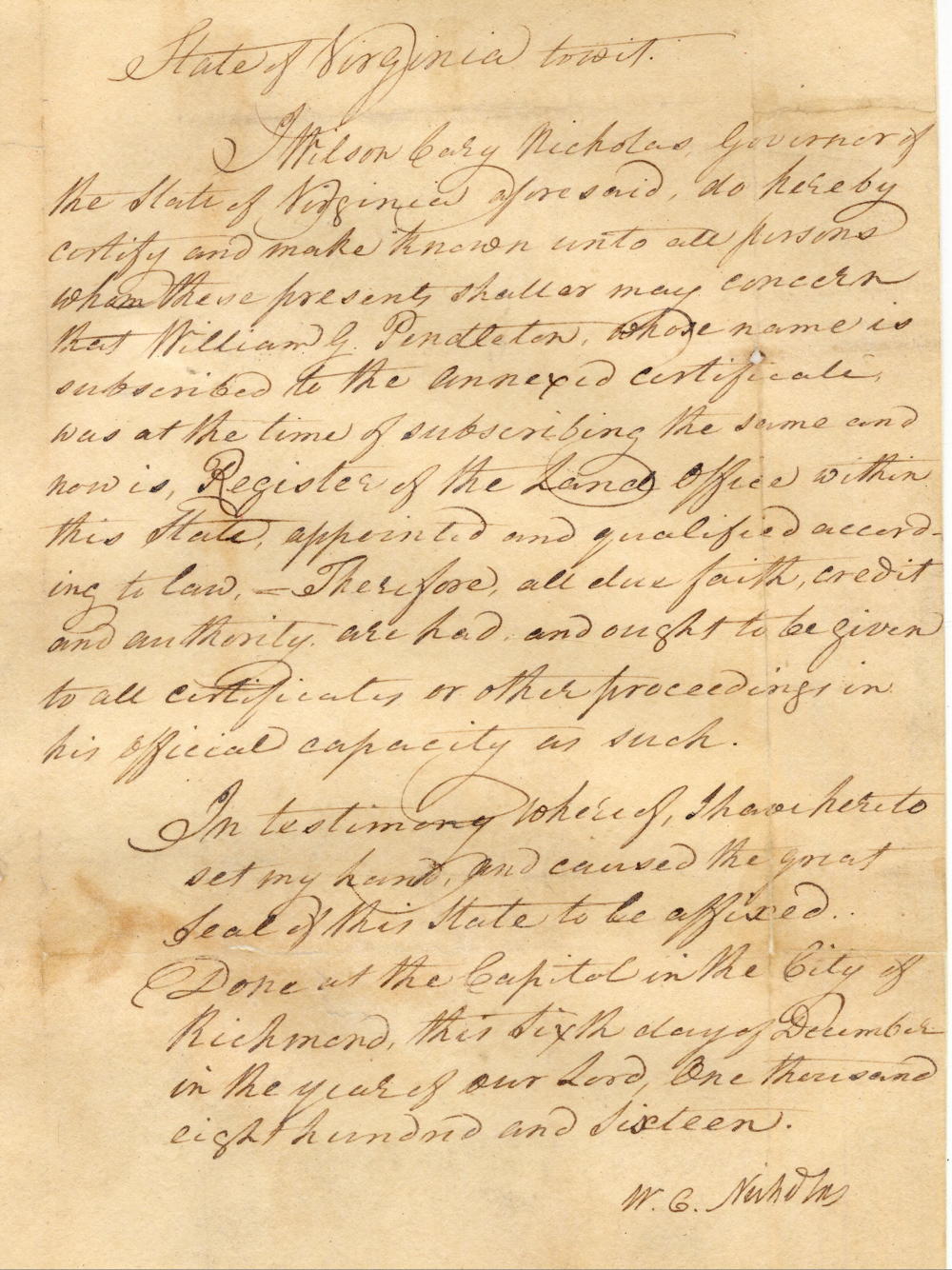
State of Virginia to wit.
I Wilson Cary Nicholas, Governor of the State of Virginia aforesaid, do hereby certify and make known unto all persons whom these presents shall or may concern that William G. Pendleton, whose name is subscribed to the annexed certificate, was at the time of subscribing the same and now is register of the land office within this state appointed and qualified according to law. Therefore all due faith, credit, and authority are had and ought to be given to all certificates or other proceedings in his official capacity as such. In testimony whereof I have hereto set my hand and caused the great seal of this state to be affixed. Done at the capitol in the city of Richmond this sixth day of December in the year of our Lord one thousand eight hundred and sixteen. (signed) W. G. Nicholas
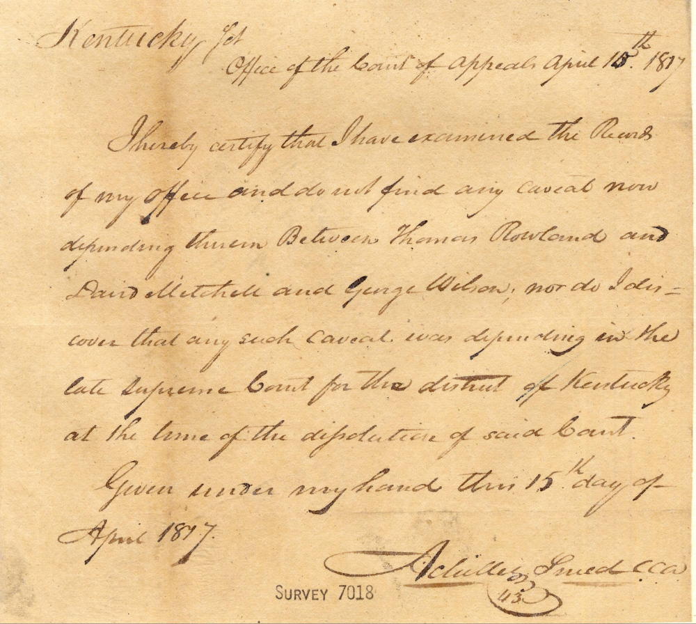
Absence of Caveat
Kentucky Sct
Office of the Court of Appeals, April 15th 1817
I hereby certify that I have examined the records of my office and do not find any caveat now depending therein between Thomas Rowland and David Mitchell and George Wilson, nor do I discover that any such caveat was depending in the late Supreme Court for the district of Kentucky at the time of the dissolution of said court.
Given under my hand this 15th day of April 1817.
(signed) Achilles Sneed, Clerk of the Kentucky Court of Appeals
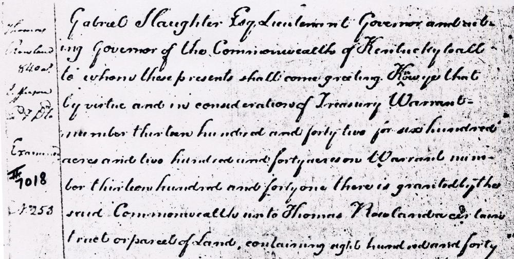
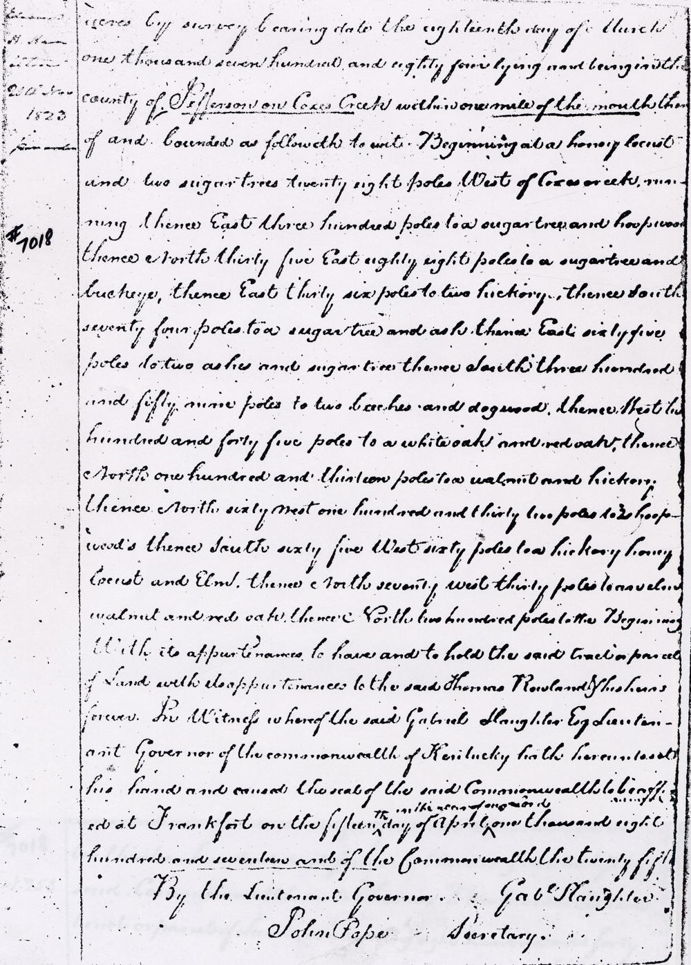
Deed
Kentucky Grant Book 2, pages 302-303
Gabriel Slaughter Esquire, Lieutenant Governor and acting Governor of the Commonwealth of Kentucky, to all to whom these presents shall come, greeting. Know ye that by virtue and in consideration of treasury warrant number 1345 for 600 acres, and 240 acres on warrant number 1341, there is granted by the said Commonwealth unto Thomas Rowland a certain tract or parcel of land containing 840 acres by survey bearing date the 18th day of March 1784, lying and being in the county of Jefferson on Coxes Creek within one mile of the mouth thereof and bounded as followeth, to wit. Beginning at a honey locust & two sugar trees 28 poles west of Cox's Creek, running thence East 300 poles to a sugar tree and hoopwood, thence North 35 East 88 poles to a sugar tree & buckeye, thence East 36 poles to two hickorys, thence South 74 poles to a sugar tree & ash, thence East 65 poles to two ashes & sugar tree, thence South 359 poles to two beeches & dogwood, thence West 245 poles to a white oak and red oak, thence North 113 poles to a walnut & hickory, thence North 60 West 132 poles to two hoopwoods, thence South 65 West 60 poles to a hickory, honey locust and elm, thence North 70 West 30 poles to an elm, walnut and red oak, thence North 200 poles to the beginning with its appurtenances to have and to hold the said tract or parcel of land with its appurtenances to the said Thomas Rowland & his heirs forever. In witness whereof the said Gabriel Slaughter Esquire, Lieutenant Governor of the Commonwealth of Kentucky, hath hereunto set his hand and caused the seal of the said Commonwealth to be affixed at Frankfort on the 15th day of April in the year of our Lord 1817, and of the Commonwealth the 25th. (signed) Gabriel Slaughter
If you, the reader, have an interest in any particular part of our county history, and wish to contribute to this effort, use the form on our Contact Us page to send us your comments about this, or any Bullitt County History page. We welcome your comments and suggestions. If you feel that we have misspoken at any point, please feel free to point this out to us.
The Bullitt County History Museum, a service of the Bullitt County Genealogical Society, is located in the county courthouse at 300 South Buckman Street (Highway 61) in Shepherdsville, Kentucky. The museum, along with its research room, is open 10 a.m. to 4 p.m. Monday through Friday. Saturday appointments are available by calling 502-921-0161 during our regular weekday hours. Admission is free. The museum, as part of the Bullitt County Genealogical Society, is a 501(c)3 tax exempt organization and is classified as a 509(a)2 public charity. Contributions and bequests are deductible under section 2055, 2106, or 2522 of the Internal Revenue Code. Page last modified: 12 Sep 2024 . Page URL: bullittcountyhistory.org/bchistory/7018-rowland.html